

About this area Wikipedia notes:
The Bayfield Peninsula is the northernmost region of mainland Wisconsin, with the south shore of Lake Superior to the west and the Chequamegon Bay to the east. The peninsula is part of the Lake Superior Lowland, though the interior southeast of Cornucopia and west of Bayfield has some higher ground including Pratt's Peak, Bayfield County's second-highest point. Highway 13 runs around the peninsula along the Superior shoreline. The communities of Port Wing, Herbster, Cornucopia, Red Cliff, Bayfield, Washburn, and Ashland lie on this stretch of highway. The interior of the peninsula is mostly the northern end of the Chequamegon National Forest, an area of jackpine growth known as the Moquah Barrens. The Apostle Islands surround the end of the peninsula.

Bayfield is known in the Ojibwe language as Oshki-oodena ("New-town"), opposed to Superior, Wisconsin, which is known as Gete-oodena ("Old-town"), in reference to the Ojibwa migration.

Bayfield’s annual Apple Fest draws about 40,000 visitors during the first weekend in October. Another annual event is Race Week regatta during the week of July 4.
Right: My friend Joan in Washburn, WI, just south of Bayfield.


Above: The Madeline Island ferry begins its journey! Our first day in Bayfield (Monday, August 5, 2013) was quite overcast, but the next two days were bright and sunny.


While cycling around Madeline Island on Tuesday, August 6, we came upon two fawns, one of which is pictured at right. At one point I thought this little guy was going to come right on up to me! It seemed very inquisitive and not particularly afraid.


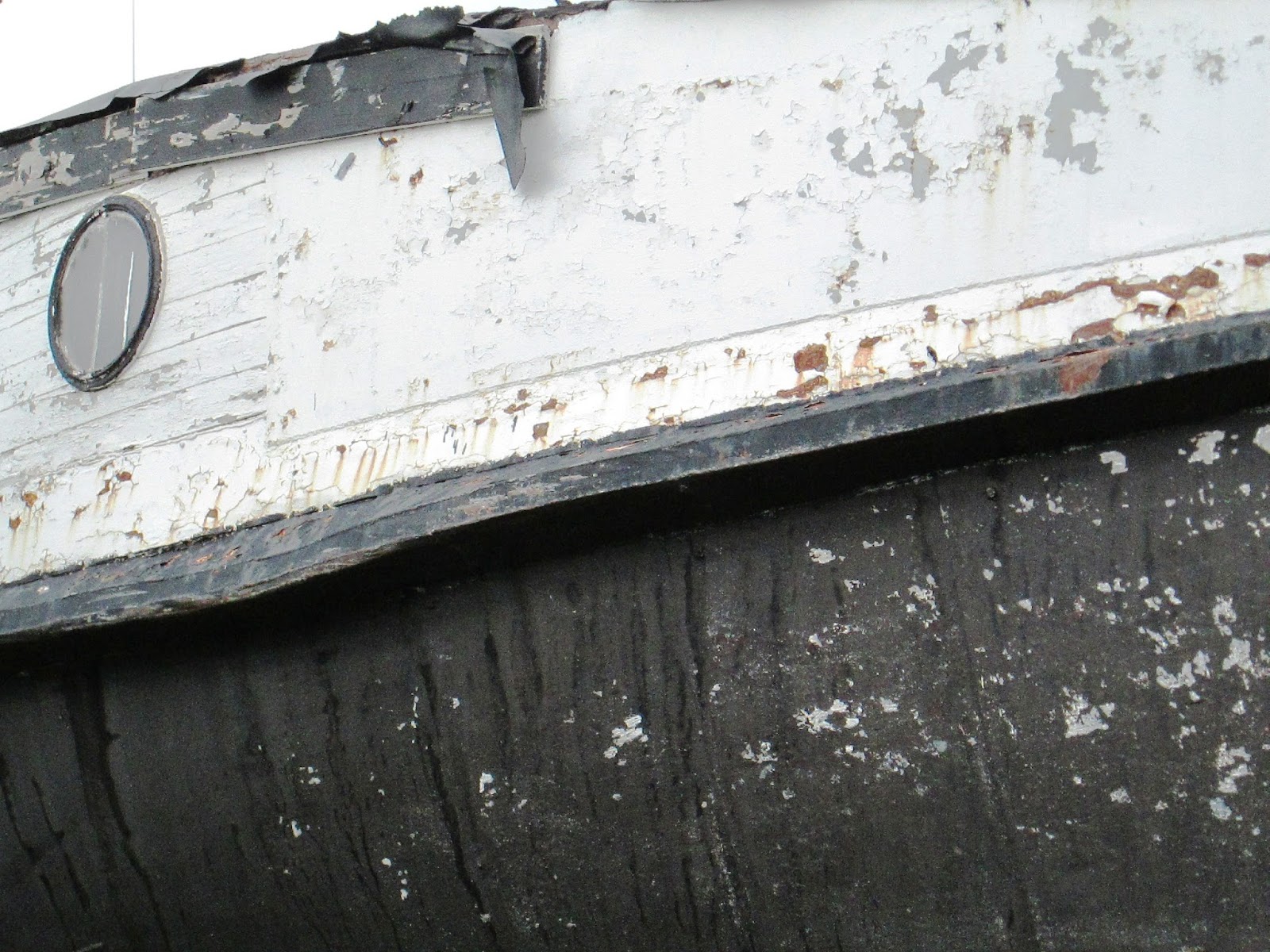
Above and below: Back in Bayfield I found myself quite intrigued by the maritime sights offered by the town's various docks and marinas – including a number of high-and-dry hulks.


Above and left: Relaxing in our lodgings in Bayfield.

Above and below: On Wednesday, August 7, we spent time hiking along the beautiful Lakeshore Mainland Trail. This trail extends 4.5 miles and takes you above the famous Sea Caves of the Bayfield Peninsula. It's quite a rugged trail, with stream crossings and steep slopes at various points.


Above: On the return hike we followed a path that led us to Meyers Beach.
See also the previous Wild Reed posts:
Wisconsin Adventure 2010 – Part 1: Black River Falls
Wisconsin Adventure 2010 – Part 2: The Elroy-Sparta Bike Trail
Wisconsin Adventure 2010 – Part 3: Potosi


No comments:
Post a Comment